SLAM-based spatial memory enables systems to map, localize, and remember spatial environments in real time. By combining SLAM (Simultaneous Localization and Mapping) with memory-based models, systems can understand their surroundings, track changes, and operate reliably in dynamic environments.
These solutions are used in robotics, autonomous systems, and spatial computing to support navigation, scene understanding, and interaction with real-world environments. It supports applications such as mobile robots, AR/VR systems, and real-time 3D environment reconstruction.
SLAM-based spatial memory enables systems to map, localize, and remember environments in real time. It allows robots and intelligent systems to understand spatial context, navigate dynamic environments, and interact with surroundings more effectively.
Autonomous navigation and localization
Enable mobile robots, drones, and autonomous systems to navigate complex and changing environments with precise positioning and path planning.
Environment mapping and spatial understanding
Create and continuously update maps of physical spaces, allowing systems to recognize locations, track changes, and operate reliably over time.
Robotics and intelligent system coordination
Support advanced robotic systems by combining spatial memory with real-time decision-making and control. When integrated with a control stack, systems can execute tasks more precisely and adapt to dynamic conditions.
👉 Learn more about the Control stack module.
3D perception and object-aware navigation
Combine spatial memory with object detection to identify objects and obstacles within mapped environments, improving safety and navigation accuracy.
👉 Explore the Object detection module.
Spatial computing and AR/VR applications
Enable applications that require real-time interaction with physical environments, such as augmented reality, digital overlays, and immersive systems.
Dynamic adaptation and real-time decision-making
Allow systems to adapt to environmental changes, optimize routes, and make decisions based on continuously updated spatial data.
Integrated spatial intelligence systems
SLAM-based spatial memory works together with modules such as point cloud computing, object detection, and control stack to build advanced systems for robotics, automation, and spatial analytics.
👉 Explore the Point cloud computing module.
SLAM-based spatial memory is used in systems that require precise navigation, spatial analysis, and operation in dynamic environments.
Autonomous mobile robots (AMR)
Enable robots to navigate efficiently in warehouses and factories, supporting logistics, order picking, and automation.
Emergency response and crisis management
Support emergency services by analyzing building layouts and infrastructure, improving evacuation planning, rescue operations, and resource allocation.
Smart agriculture and precision farming
Enable monitoring of fields, analysis of environmental conditions, and optimization of irrigation and resource management.
Integrated spatial systems
SLAM-based spatial memory can be combined with modules such as point cloud computing to enable accurate spatial mapping and advanced 3D data analysis.
👉 Explore the Point cloud computing module.
Unleash spatial intelligence
contact usRelated case study
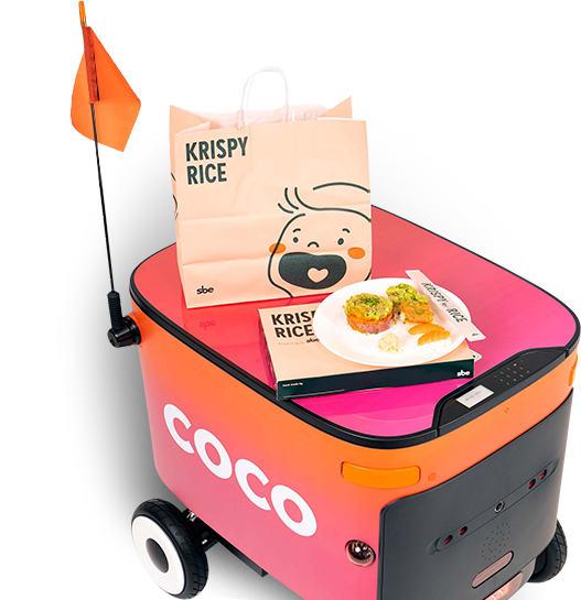
Coco
Coco is a leading robotic delivery service that deploys remotely piloted sidewalk vehicles to make last-mile deliveries more affordable, reliable, and sustainable.
With xBerry’s support and collaboration, Coco has achieved significant improvements in the reliability and performance of their onboard software stack.
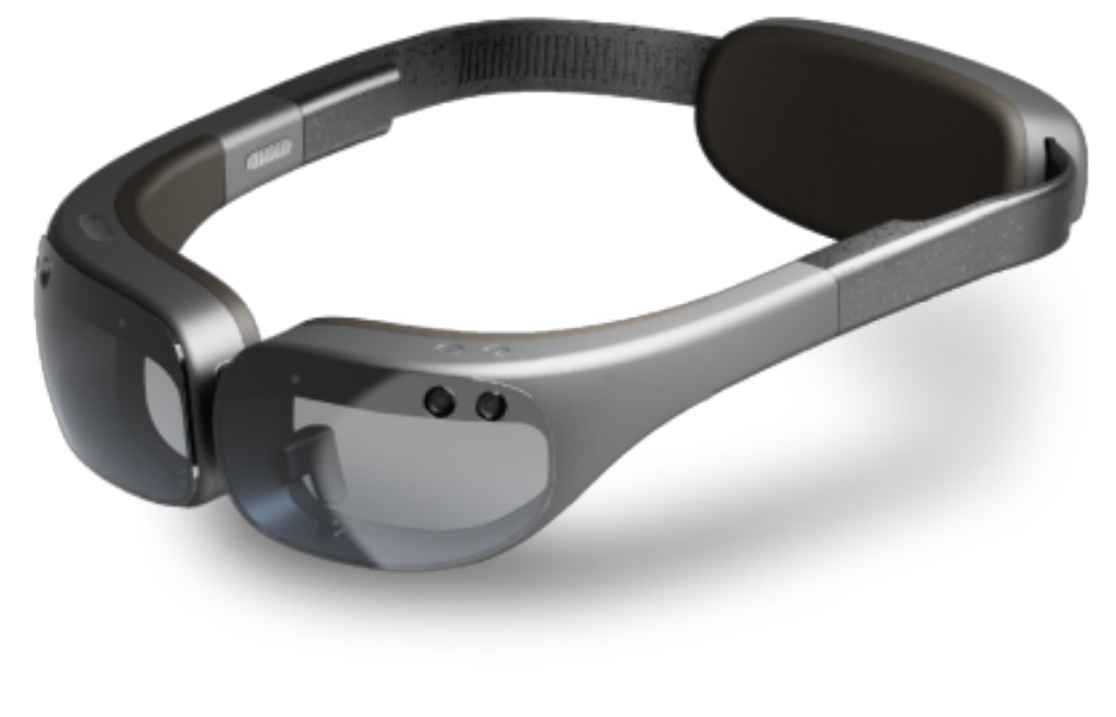
SpaceOS
SpaceOS is a Mixed Reality System designed for our Swedish partner. SpaceOS enables users to interact with interfaces and objects by performing hand gestures.
DRNK App. The Business Value of Augmented Reality
Vaccine Cold Chain. COVID-19 and the Tech Industry.
Planning a digital project?
Contact us
Copyright © 2026 by xBerry. All rights reserved.