Point cloud computing enables the processing and analysis of 3D data generated from sources such as LiDAR, cameras, and sensors. It is used to create accurate spatial models, support object detection in 3D environments, and enable applications such as 3D mapping, augmented reality, and digital twins.
These solutions allow organizations to analyze environments in real time, improve spatial understanding, and automate processes in industries such as robotics, construction, manufacturing, and smart infrastructure. It also supports tasks such as object detection in 3D space, environment reconstruction, and spatial analytics.
Point cloud computing enables the processing, analysis, and interpretation of large-scale 3D data in real time. It allows systems to understand spatial environments, build accurate 3D models, and automate processes based on spatial information.
3D mapping and environment reconstruction
Create accurate 3D representations of physical spaces using data from LiDAR, cameras, and sensors, supporting applications such as mapping, simulation, and digital twins.
Autonomous systems and robotics
Enable robots and autonomous systems to understand and navigate complex environments using spatial data. When combined with object detection, systems can identify objects and obstacles in 3D space.
👉 Learn more about the Object detection module.
Augmented reality and digital twins
Support AR applications and digital twins by providing precise spatial data for visualization, simulation, and real-time interaction with environments.
Construction and infrastructure monitoring
Analyze construction sites, infrastructure, and assets in real time, improving planning, tracking progress, and detecting structural changes or risks.
Manufacturing and quality inspection
Use 3D data to detect defects, measure dimensions, and ensure product quality with high precision.
Scalable processing of 3D data
Process large volumes of point cloud data in the cloud, enabling scalable analytics and real-time insights across distributed systems.
Integrated spatial intelligence systems
Point cloud computing can be combined with modules such as spatial memory, control stack, and object detection to build advanced systems for robotics, automation, and spatial analytics.
👉 Explore the Spatial Memory module.
Point cloud computing is used across industries to analyze spatial data, improve operational efficiency, and support real-time decision-making based on 3D environments.
Autonomous navigation and robotics
Enable autonomous vehicles, drones, and robots to navigate complex environments using real-time spatial data for obstacle detection and path planning.
Mining and industrial operations
Monitor extraction sites and industrial environments using 3D data, improving safety, predictive maintenance, and resource allocation.
Smart city planning and infrastructure
Create digital twins of urban areas and infrastructure to support planning, simulation, and optimization of transport systems and utilities.
3D inspection and quality control
Detect defects, measure deviations, and analyze structures using point cloud data, improving precision and reducing waste in manufacturing.
Connected modules and scalable systems
Point cloud computing can be integrated with modules such as fleet provisioning to manage distributed devices and data pipelines, and object detection to analyze objects in 3D environments.
👉 Explore the Fleet Provisioning module.
Unlock the potential of technology
contact us
Related case study
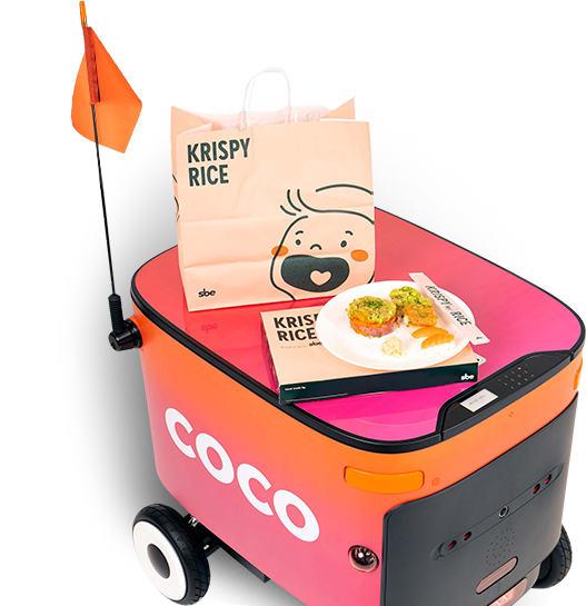
Coco
Coco robotic delivery is a leading delivery service that deploys remotely piloted sidewalk vehicles to make last-mile deliveries more affordable, reliable, and sustainable.
With xBerry’s support and collaboration, Coco has achieved significant improvements in the reliability and performance of their onboard software stack.
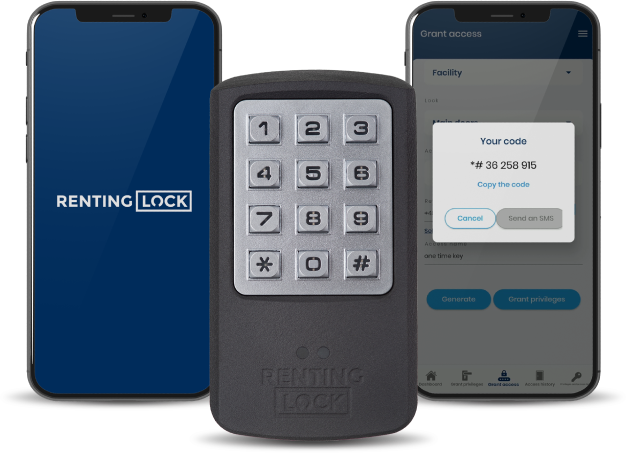
RentingLock
RentingLock is a system that enables remote access control for real estate via a multifunctional mobile app connected to electronic locks using Bluetooth.
xBerry Talks – Challenges of SLAM and Autonomy with Piotr Skrzypczyński and Janusz Będkowski
Industry 4.0. Smart Machines and Automation
Planning a digital project?
Contact us

Copyright © 2026 by xBerry. All rights reserved.